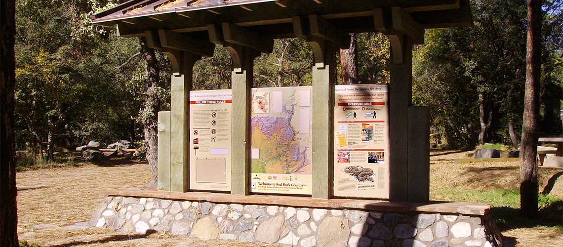
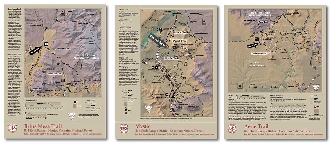
Trailhead and kiosk maps for Sedona’s Red Rock Ranger District
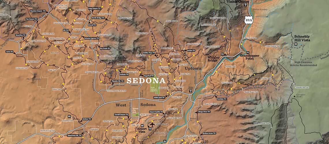
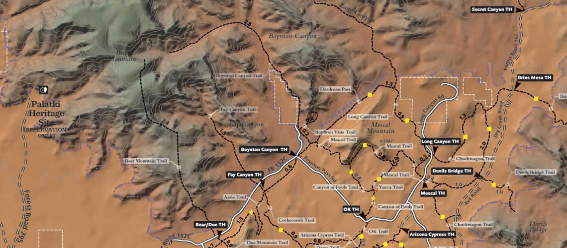
Our challenge was to assemble the Coconino National Forest’s extensive network of hiking trails in an easy-to-read series of informational signs for visitors. We generated a base map used to create 33 unique trailhead signs depicting the interconnected network of trails found in and around the Red Rock District of Sedona. Each trailhead map highlights accessible trails from that location, as well as additional nearby routes. Includes basic trail information for hikers to allow for safety and preservation of the area.
TEAM: Sarah Belcher, Landscape Architect, Coconino National Forest; Autumn Ela, Landscape Architect Intern, USFS; Yancy Lucas, Writing; Kelli O’Neill, USFS Landscape Architect, Consulting and Reviewing
-
Base map used for trailhead signs and kiosks
Manufactured at IZone.


