-
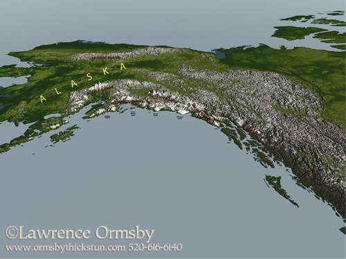
View of Alaska
Digital map for DEM files. Created for “Sculpted by Ice” by Michael Collier, published by Alaska Geographic and USGS -
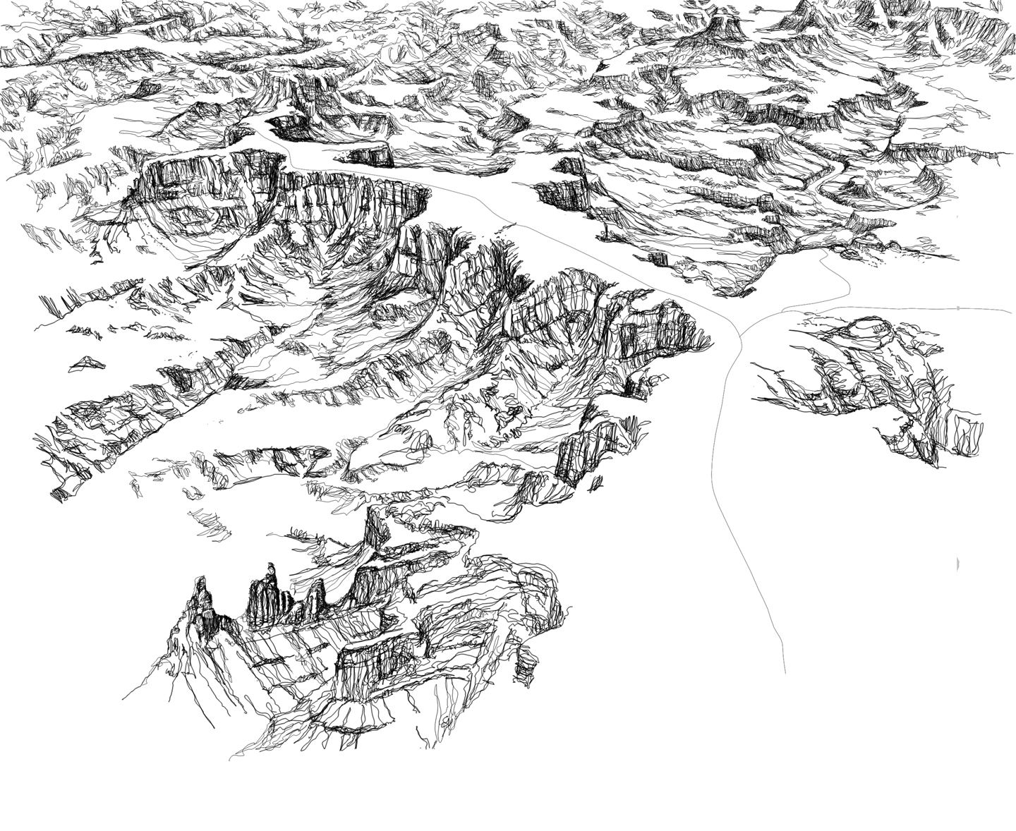
Maze District of Canyonlands National Park for a trailguide.
-
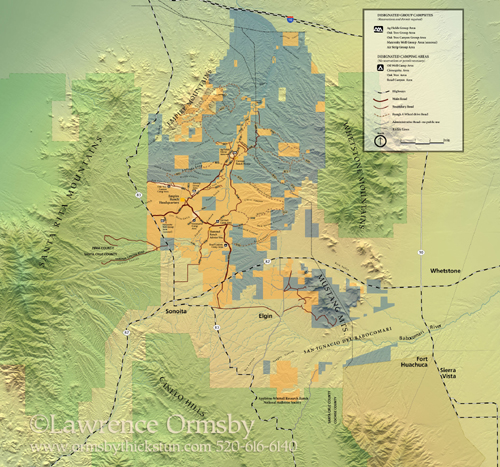
Las Cienegas National Conservation Area
-
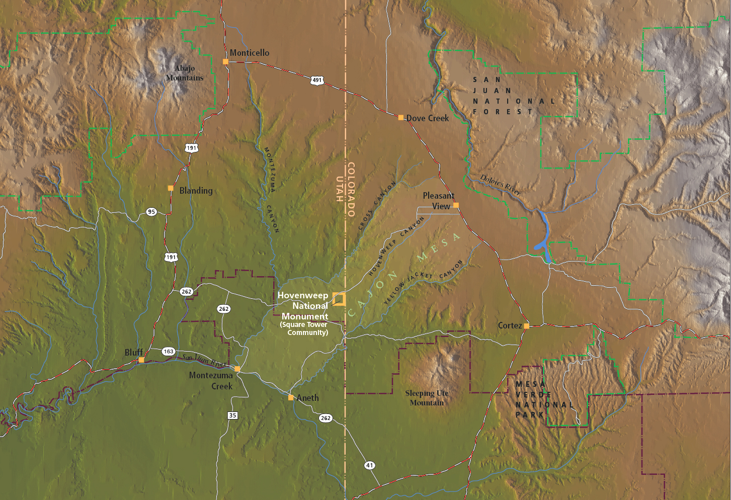
Regional map of Utah and Colorado around Hovenweep National Monument
(from “Towers of Hovenweep” by Ian Thompson) -
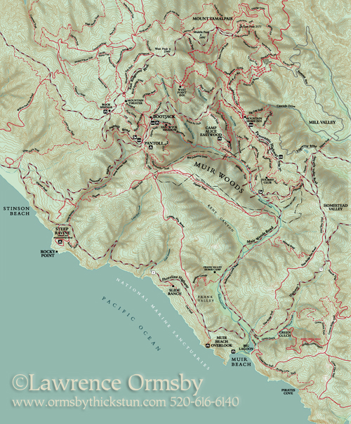
Muir Woods
-
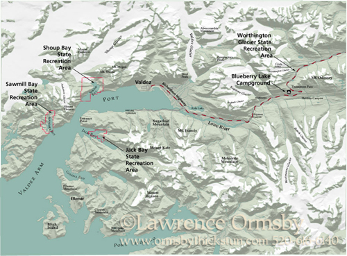
Valdez, Alaska
Map created for Worthington Glacier brochure
Maps
Lawrence Ormsby created these maps by using USGS DEMs (digital elevation maps, data that gives him XYZ coordinates of the landform), and manipulating in a three-D software application. Or in some cases, he's hand-shaded by painting in Photoshop with a digital pad, and looking at aerial photographs or DEM renditions to figure out the shading. Some are drawings based on the data and aerial views, like the Canyonlands image.